Project Detail: Lost Villages of the St Lawrence
Contest:
Swiss Storytelling Photo Grant 9th
Brand:
LuganoPhotoDays
Author:
Amanda Large
Project Info
Lost Villages of the St Lawrence
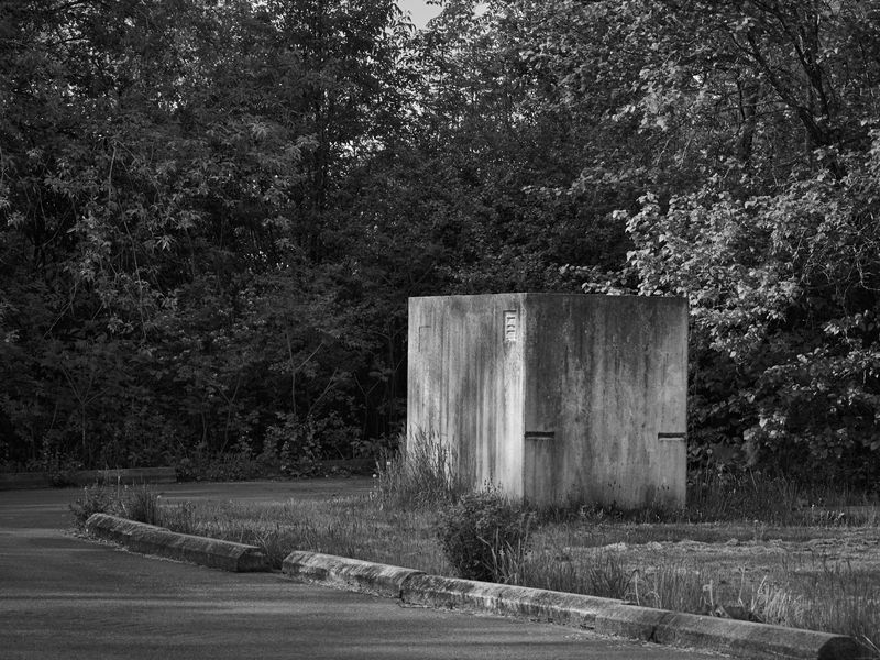
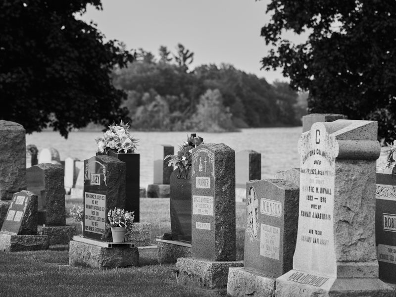
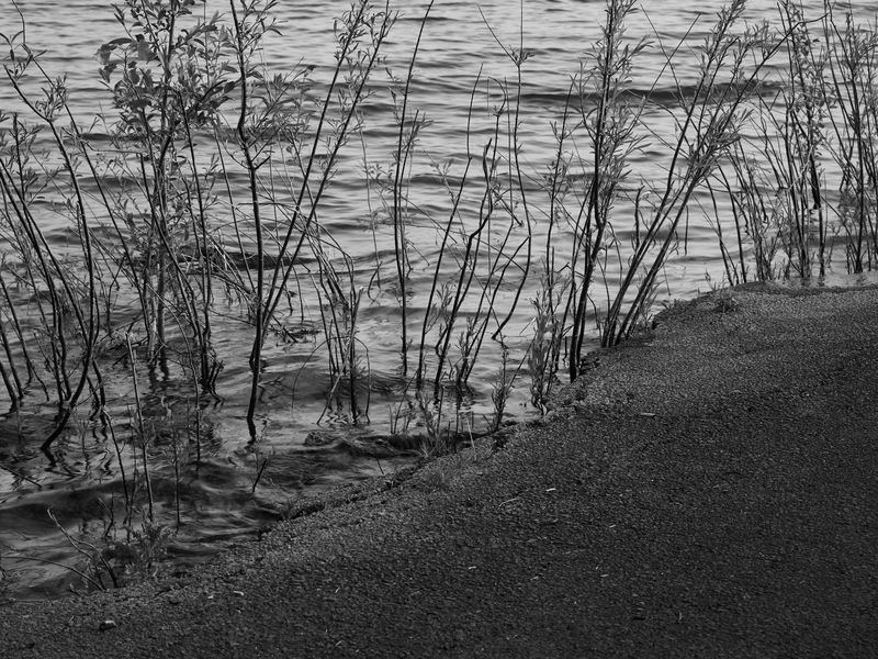
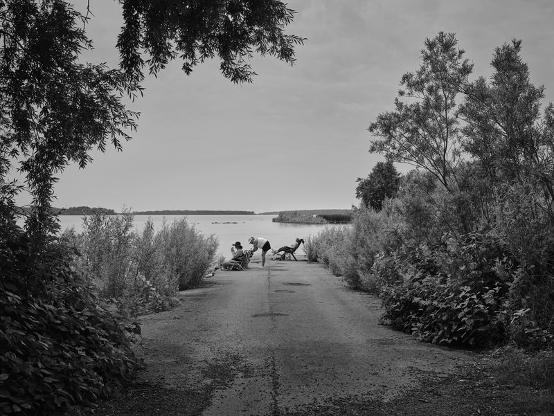
Documentation of the remains of nine Canadian villages and hamlets that were inundated as part of the St. Lawrence Seaway and Power project in the 1950s.
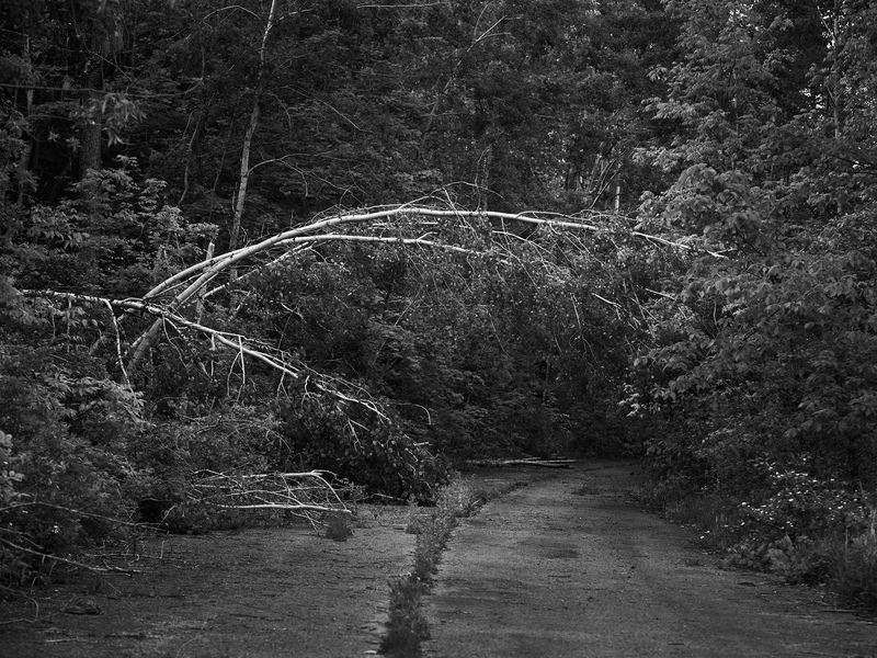
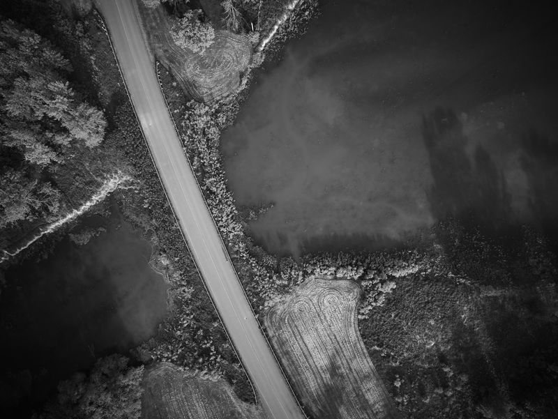
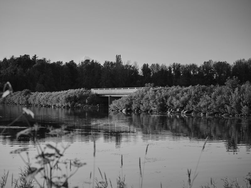
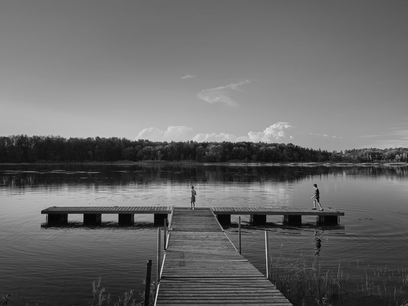
During the late 1950s, nine Ontario communities were destroyed through unprecedented land expropriation and construction for the St. Lawrence Seaway & Power Project. This project required the building of the Robert H. Saunders Power Dam across the St. Lawrence River between Cornwall, ON, and Massena, NY, and included the creation of Lake St. Lawrence, a 15,400-hectare artificial lake on the Canadian side. Formerly located on the north shore of the St. Lawrence River between Cornwall and Morrisburg, these communities now all lay underwater. Inundation Day, July 1st 1958, was the culmination of a four-year effort. The flooding to create Lake St. Lawrence also resulted in the relocation of old highways and railway lines, the loss of 8,093.7 hectares of prime farmland and mature orchards and the relocation of 6,500 people.
As an architect by training, I am passionate about the impact of our surroundings on us; how they shape our moods, our experiences, and our worldview. Documenting the Lost Villages of the St. Lawrence, refocuses attention on an important yet largely forgotten chapter in Canadian history.
Photos